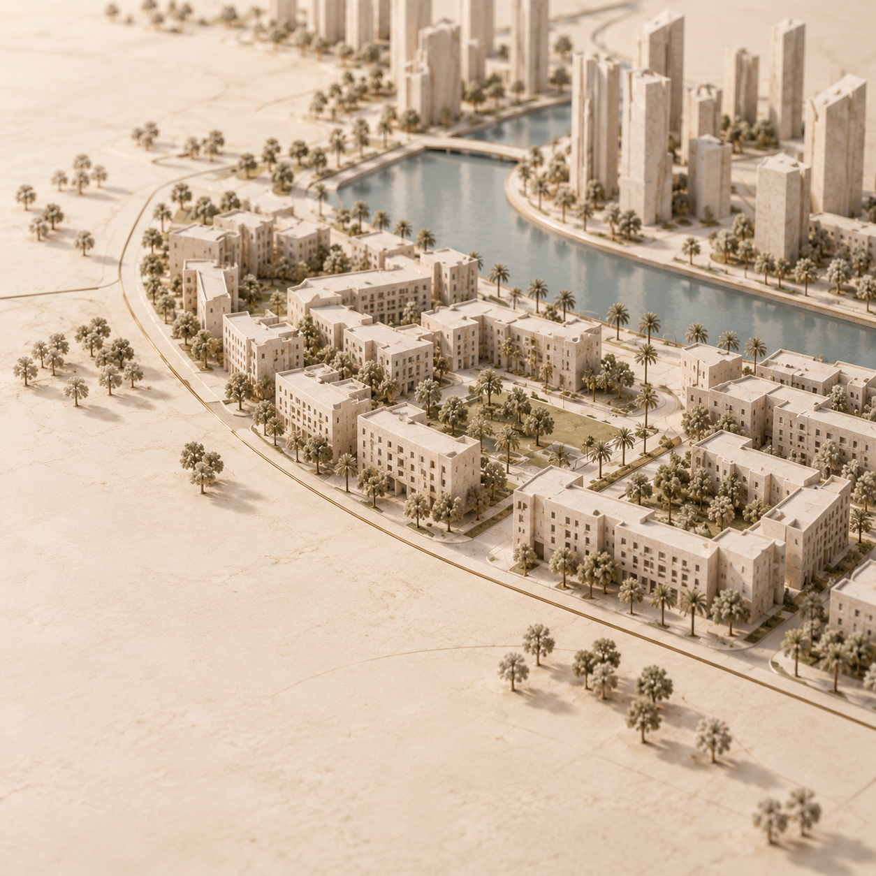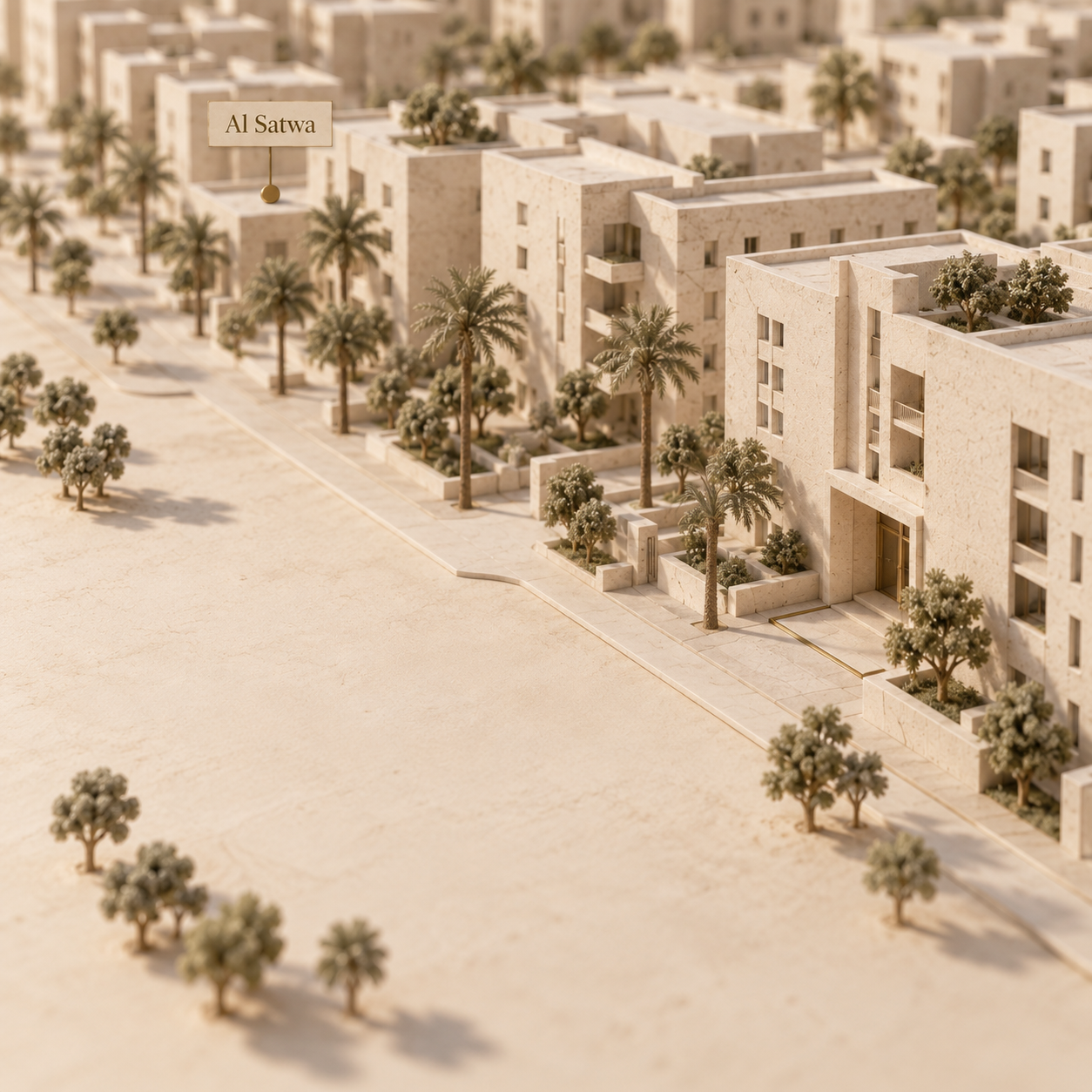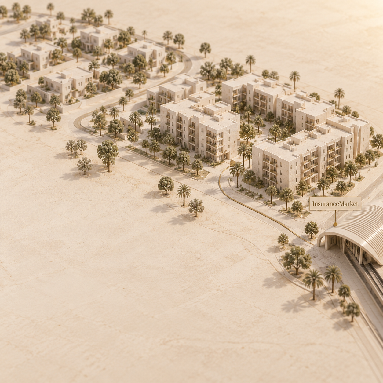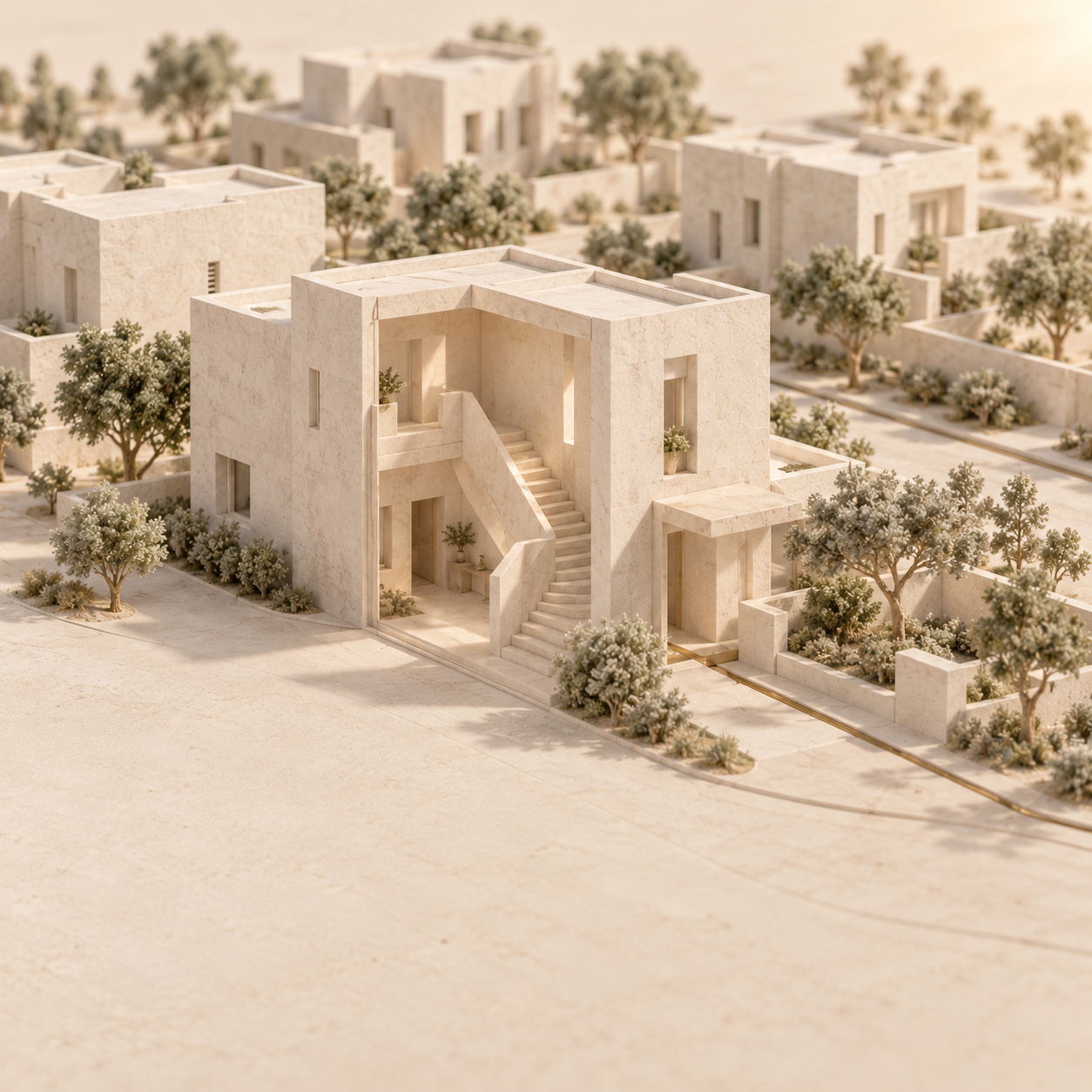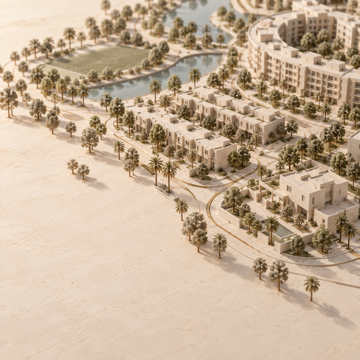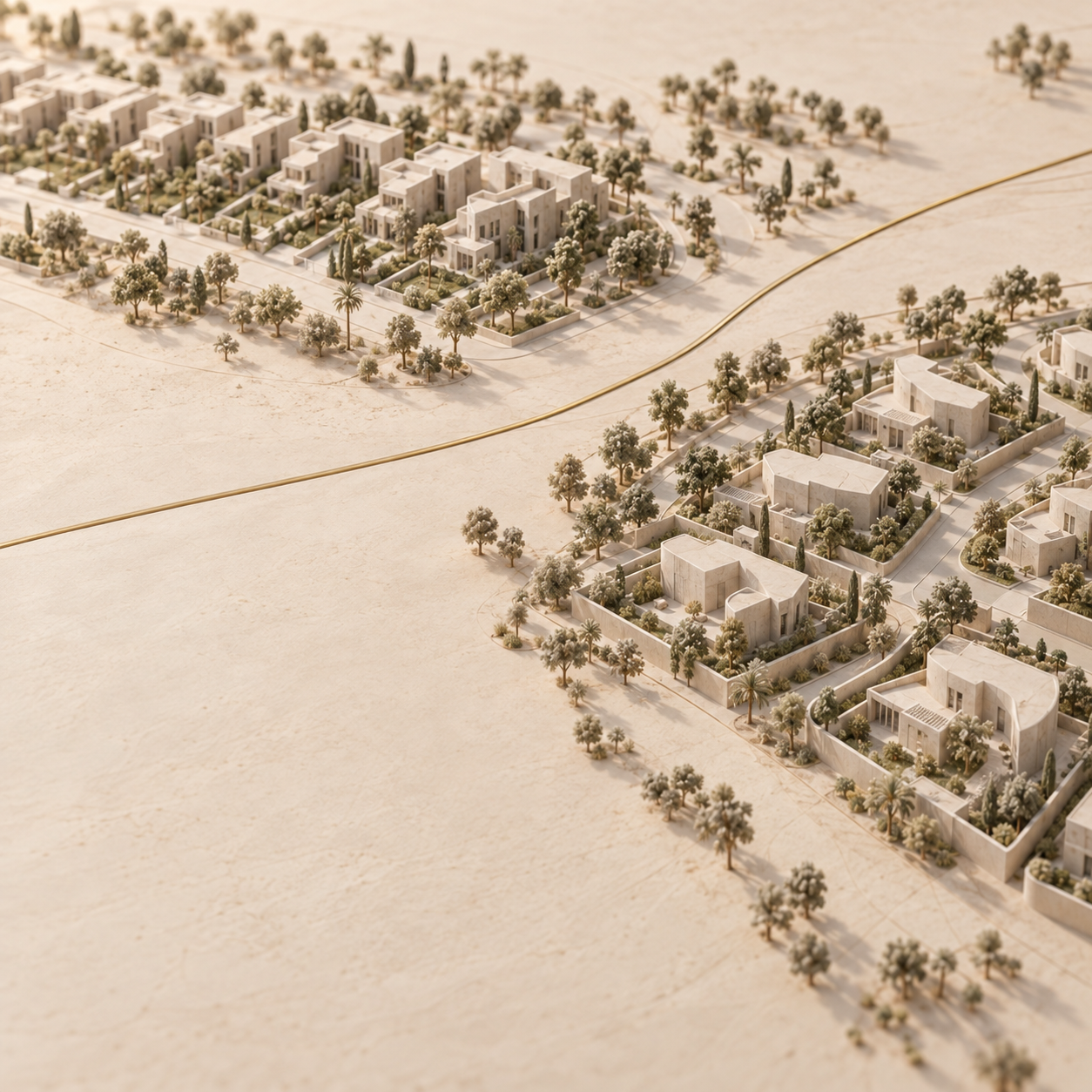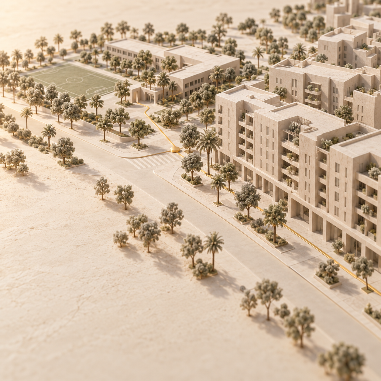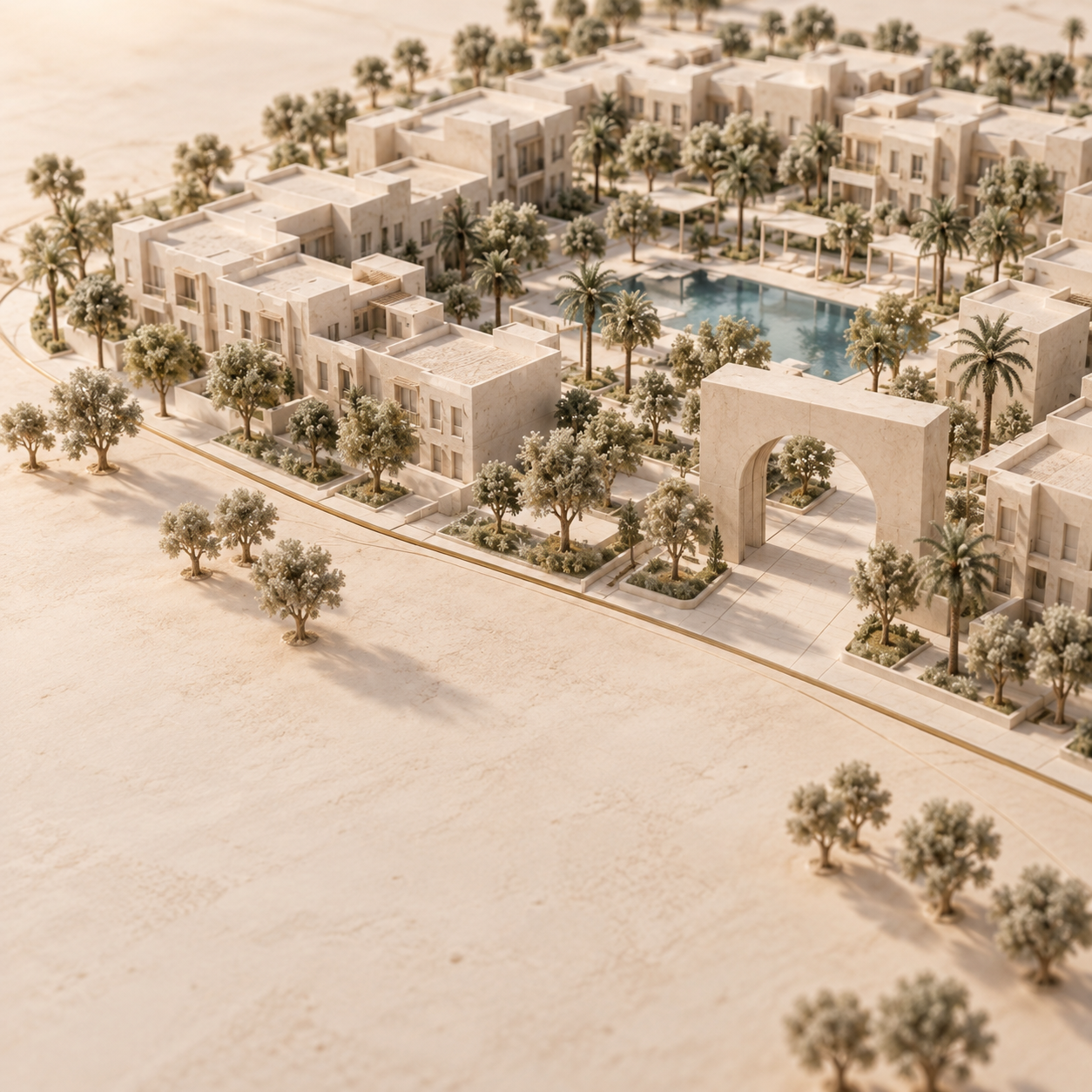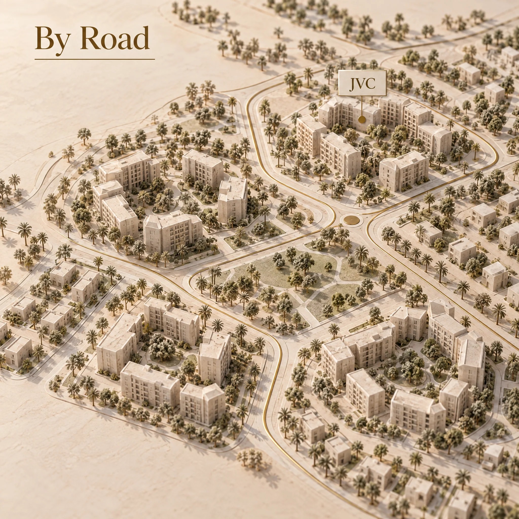
JVC Dubai by road: four apartment-life clusters (2026)
Jumeirah Village Circle covers 560 hectares and Nakheel names three external approaches, Sheikh Mohammed Bin Zayed Road, Al Khail Road and Hessa Street. For apartment life, the useful shortlist is smaller: four road-defined clusters that connect a building pin to a daily anchor, then to the external road you actually use. Nakheel, checked 26 September 2026
On 19 April 2026, RTA opened the 4.5 km Hessa Street section from Sheikh Zayed Road to Al Khail Road and said Phase 2 works had begun from Al Khail Road to Sheikh Mohammed bin Zayed Road, serving JVC (RTA, 19 April 2026; page checked 26 September 2026); RTA's separate ongoing-project record, checked 26 September 2026, lists four additional JVC and JVT entrances and exits through grade-separated intersections but does not expose a completion date (RTA ongoing-project page, checked 26 September 2026).
The four JVC road clusters at a glance
JVC works better as four road groups than as one commute claim. Nakheel confirms the community's three external approaches, while the current road names and anchor locations come from the saved OpenStreetMap snapshot accessed on 26 September 2026. The four cluster names below are editorial routing aids, not official Nakheel or Dubai government districts. Start with the governed JVC area guide for the wider community context.
Road and POI positions are from OpenStreetMap, snapshot accessed 26 September 2026. Circle Mall confirms its JVC location, shops, parking and supermarkets on its official about page, and its directory confirms Spinneys at the mall. JSS gives its location as Jumeirah Village Circle South on the school's official site.
Dana Road and Circle Mall suit a retail-first routine
Dana Road is the clearest starting point when Circle Mall is one of the household's repeated destinations. The mall describes itself as being in the heart of JVC and confirms that shops, parking and supermarkets are part of the site; its directory identifies Spinneys there, all checked on 26 September 2026. That makes the anchor verifiable without relying on a listing description.
The road test still starts at the building. On the current map, Circle Mall sits among Dana Road and local Streets 2 to 5, with Hessa Street on the outward side. Compare that chain with the alternative toward Al Khamila Street and Al Khail Road. Do not convert the mall's area-level position into a blanket journey estimate for every apartment on Dana Road.
This cluster is the positive fit for a household that wants groceries, services and mall trips in one repeatable loop. A household whose main journey points west can compare the Mayass cluster instead.
Al Khamila, Kaheel and Nashwan suit a north-edge split
The northern shortlist is defined by Al Khamila Street on the outer edge and Kaheel and Nashwan boulevards inside it. Those names appear together in the current map capture, and Choithrams at Manhattan Towers provides a mapped grocery anchor for the group as of 26 September 2026.
The practical choice here is not a claim that one exit is always faster. It is a two-route comparison: test the building pin toward Al Khail Road, then repeat the same destination through the Hessa-facing side. Record the named internal road that the routing tool actually selects. If the route changes between windows, that variation belongs in the shortlist notes.
This cluster fits households whose repeated trips divide between a northern daily anchor and destinations reached from different external approaches. A household centred on Circle Mall has the cleaner Dana Road comparison.
Mayass is the Al Khail-facing shortlist
Mayass Boulevard is the most useful first filter when the repeated destination points toward Al Khail Road. Nakheel names Al Khail Road as one of JVC's three official approaches, and the current map places Mayass on the western side of the internal road pattern. Carrefour Market JVC is the mapped daily anchor used for this cluster, checked on 26 September 2026.
The route worksheet matters more here than a community-wide estimate. Pin the actual parking entrance, not the building name alone, because a routing service can choose a different local street for two entrances on the same block. Then compare Al Khail Road with the Sheikh Mohammed Bin Zayed Road alternative for the same destination and window.
This is the positive fit for households whose work, school or family route repeatedly leaves from the Al Khail-facing side. Readers weighing a more central employment base can pair this road check with the JVC and Business Bay apartment-life comparison.
Mayar, Pantheon and JVC South put the school trip first
The JVC South shortlist starts with Mayar Boulevard, Pantheon Boulevard and Street 3, then tests the school run before any broader commute claim. JSS International School gives its location as Jumeirah Village Circle South on its official site, checked on 26 September 2026, so it is the strongest verified daily anchor for this group.
Use the school's gate or approved drop-off point as the destination pin, not the centre of the school label. Run the same comparison through Hessa Street and Sheikh Mohammed Bin Zayed Road, then note the actual internal boulevard selected. This produces a building-level route record without making a general claim about school-run conditions.
This cluster is the positive fit for a household that needs JSS in the daily decision. Families comparing a different community structure can use the JVC and Dubai Hills family-apartment comparison after completing the same route worksheet for both locations.
Current RTA works make dated route checks essential
The road network around JVC is changing, so an old area guide cannot settle a current building route. RTA opened the 4.5 km Hessa Street section from Sheikh Zayed Road to Al Khail Road on 19 April 2026, widening Hessa Street and the listed intersection bridges to four lanes in each direction. The same RTA release says Phase 2 had begun over 3 km between Al Khail Road and Sheikh Mohammed bin Zayed Road and names JVC among the areas it serves. RTA, 19 April 2026; page checked 26 September 2026
RTA separately lists an ongoing JVC and JVT project for four additional entrances and exits through grade-separated intersections, adding 10 lanes. The retrieved page does not expose a completion date, so those entries cannot be treated as available today. RTA ongoing-project page, checked 26 September 2026
The practical reading is simple: keep opened works, ongoing works and proposed access separate. Re-run the building route when RTA changes the network or the routing app starts selecting a different approach.
Use the same route-check worksheet for every building
A comparable route log uses the exact building pin, the same destinations and the same three windows. RTA says Smart Drive provides route planning, calculated travel time, real-time traffic, roadworks, incidents and automatic rerouting. That makes it a repeatable check rather than a one-off estimate. RTA Smart Drive, checked 26 September 2026
Pin the real entrance
Use the parking ramp or lobby drop-off point. Save the building pin and the name of the first road selected by the router.
Use your repeated destinations
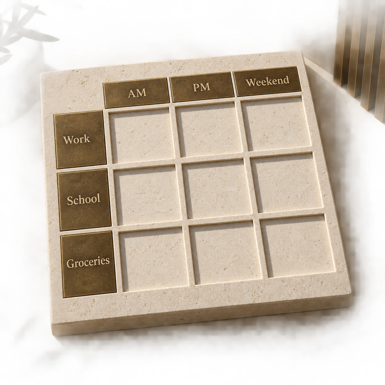
Enter the workplace, school gate and grocery anchor that the household will actually use. Keep those destination pins identical across every shortlisted building.
Repeat the same windows
Run weekday AM, weekday PM and weekend checks. Record the observed time, route distance, first internal road and external road. These are dated observations, not universal travel times.
Compare the road chain
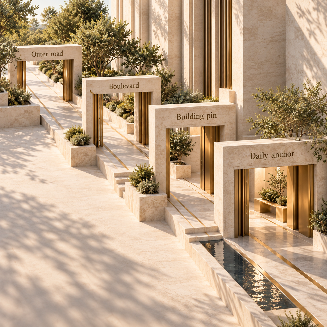
Write the chain as building pin, internal street, boulevard, external road and destination. A small difference in the first turn can matter more than the broad JVC label.
Use one final building check alongside the route log: confirm the parking allocation, visitor-access process and any school transport arrangement from current building or school documents. Those facts are property-specific and are not implied by the cluster.
FAQ, checked 26 September 2026
Is JVC a good area in Dubai?
JVC can be a strong fit when a building's road chain matches the household's repeated destination. Compare the exact pin and route windows rather than treating the entire 560 hectare community as one commute.
Which part of Dubai is JVC?
Nakheel identifies access from Sheikh Mohammed Bin Zayed Road, Al Khail Road and Hessa Street. The master developer describes JVC as a circular 560 hectare community. Nakheel, checked 26 September 2026
Which metro station is closest to JVC?
Nakheel uses Al Khail Metro Station as the metro reference in its JVC location panel and publishes a 12-minute estimate. Treat that as a master-development estimate and test the current first-mile route from the exact building. Nakheel, checked 26 September 2026
What is there to do in JVC?
Circle Mall covers shopping and food uses, while Nakheel and Dubai Holding Community Management list parks, sports courts and other community amenities. Check current opening and access details with the venue or community manager. Circle Mall, DHCM, checked 26 September 2026
Which is the best building in JVC?
There is no universal answer. The stronger match is the building whose entrance, road chain, parking facts and daily anchors fit the household's repeated routine, verified with current building documents and the same route worksheet.